The Kimberley region of Western Australia experiences harsh weather extremes between the wet and dry seasons. Flooding and extreme weather can cause delays to occur. Be sure to carry (at ALL times) a supply of fresh water and suitable food as well as extra tyres.
During the wet season, road conditions within Broome and the Kimberley region can change dramatically (over a short period of time) making some roads inaccessible at short notice. Floods occur quickly with heavy rainfall along the roads, and can wash out floodways, making them very dangerous for both experienced and inexperienced drivers. Always follow the safety advice and if a road is closed, or appear to be dangerous, don't risk it! High clearance 4WD’s recommended on all unsealed roads.
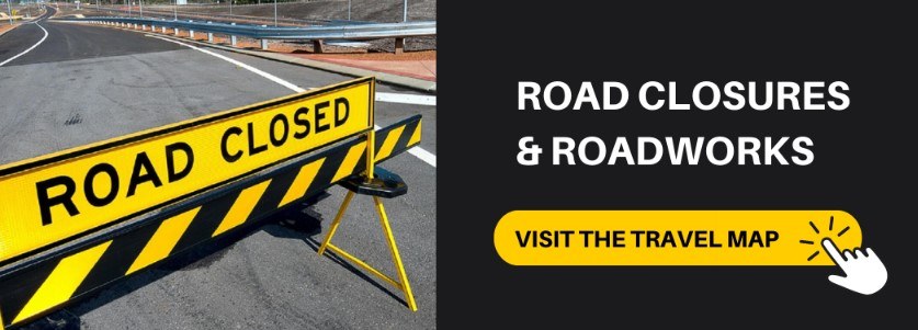
MAIN ROADS TRAVEL MAP
The Main Roads Travel Map is the most up to date resource for checking road closures and roadworks in Western Australia.
Remember to plan your journey. Please be advised of the Main Roads Travel map Disclaimer before using the online travel map.
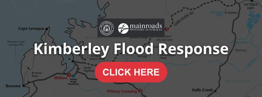
KIMBERLEY FLOOD RESPONSE
Visit the OFFICIAL website here> Kimberley Flood Response | Main Roads Western Australia
NATIONAL PARKS UPDATES
Check Park Alerts at https://alerts.dbca.wa.gov.au on the latest park information. Please not attempt to travel on closed roads or access closed parks for your safety.
LOCAL INFO AND RESOURCES
Visit this page for more important resources to keep you safe while travelling in Broome and the Kimberley.